The detailed results report provides a description of the validation tests performed against the submitted file. The results are summarized and grouped by layer. Green check marks indicate the file passes a test where a red X indicates an error has occurred related to the data provided.
The first portion of the report includes a brief summary of the CAD file submittal.

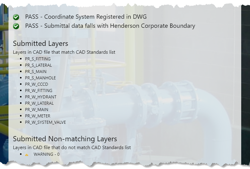
The next portion of the report summarizes initial validation checks at the file level, including if the data coordinates within the CAD file fall within the City of Henderson corporate boundary. If any object in the CAD file falls outside the City boundary, the submittal status displays FAILED and validation halts.
Additionally, CAD software has the means to define the coordinate system of a CAD file. The validation will check for this definition in the CAD file. If the assigned coordinate system is undefined, this validation test will fail, however, validation is continued if the previous check, all objects fall within the City boundary, passes.
At the file level, the validator will next check to see if the attribute data associated with the CAD file is stored using the file type method selected in the form. For example, if the user selects a file type of "Extended Entity Data" but the validator cannot find extended entity data in the CAD file, this check will fail. The user must accurately select the file type for attribution data for validation to continue.
The next section of the detail report will display a list the layers in the CAD file that match the expected layer list in the CAD Standards along with an object count within each of those layers. This validates that the layers within the CAD file are named as expected. This is followed by a list of layers found in the CAD file that do not match the expected layer list in the CAD Standards. Those that do not match the standards are listed for informational purposes only and to help identify layer naming typos or errors. Non-matching layers are ignored by the validation checks.
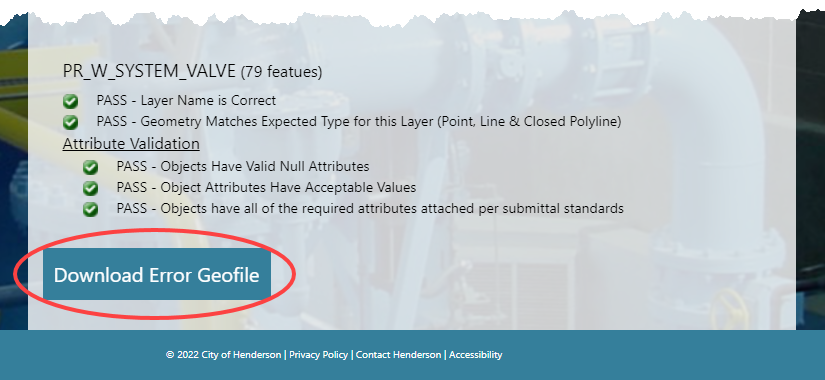
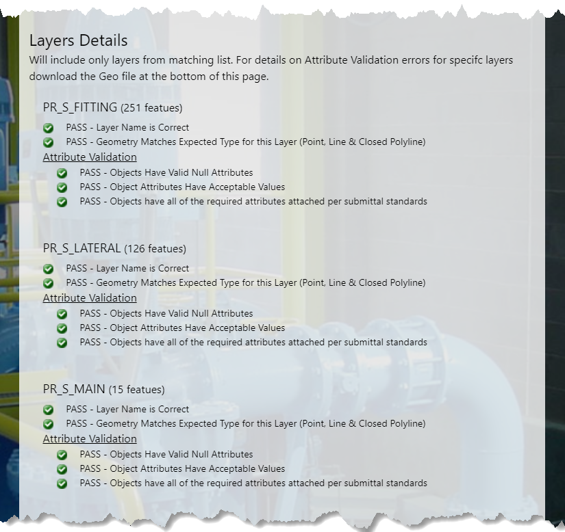
The Layers Details section of the report displays the results of various checks at the individual layer level using only the layers that match the standards.
Attribute validation with each layer is checked with each object, or entity, in the layer.
The final section of the detail report will display a button to Download Error Geofile. These files help determine the specific locations of validation errors, if any.